Spinning Data,
weaving nomadic journeys.
A GPS device shaped like a spindle — so herders can record the grazing routes their land claims depend on, without changing how they already spend their day.
Overview
To claim rights over the land they have grazed for generations, herding communities must file a Forest Rights Claim — and that claim rests on evidence of where they have actually been. Recording routes and grazing points is the hard part.
Spinning Data is a GPS device and companion portal that captures that evidence as a by-product of something herders already do, rather than as an extra task they have to remember.
The insight
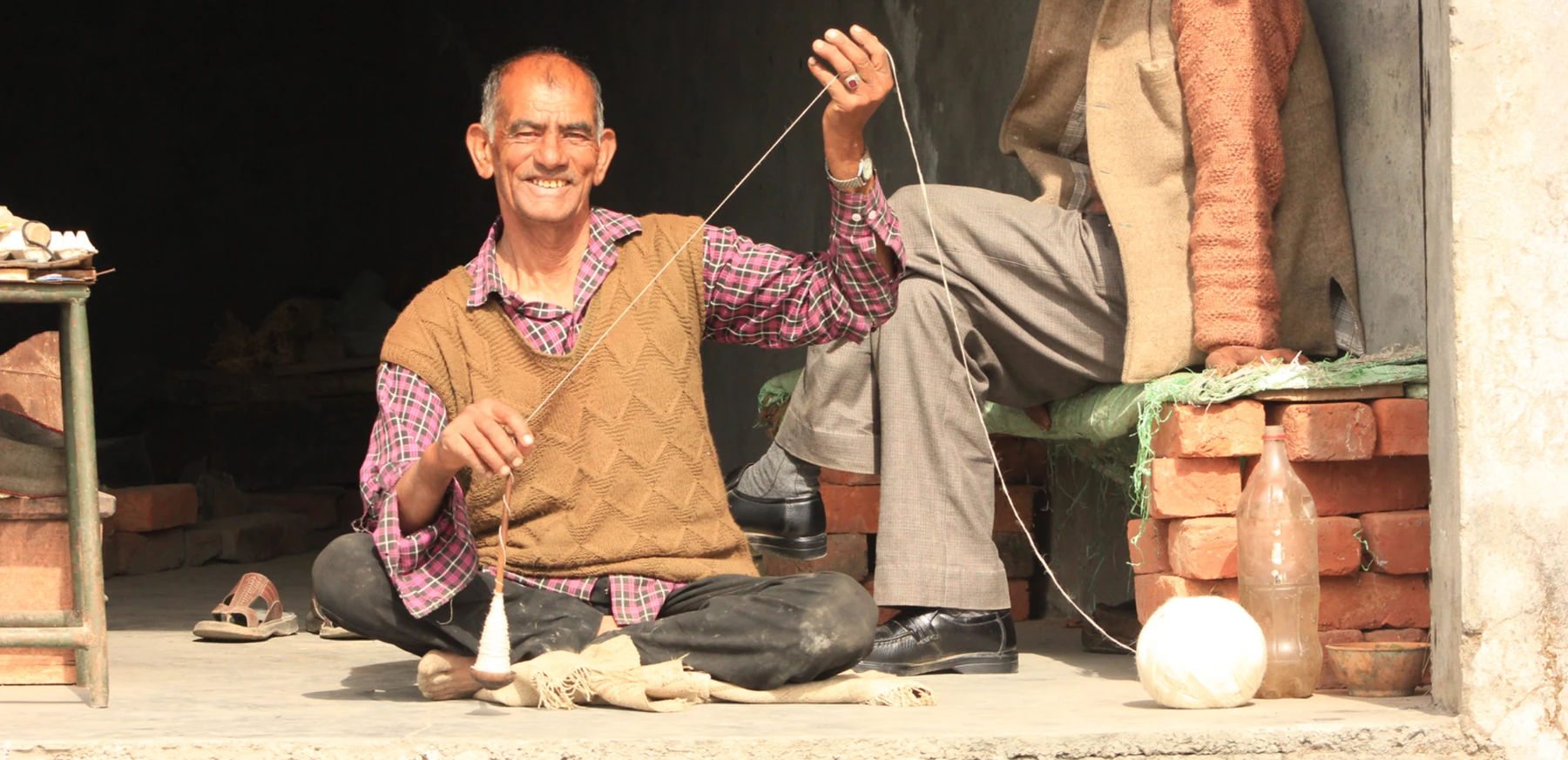
Field research surfaced a habit worth designing around: while the sheep graze, shepherds spin raw wool into yarn using a takli — a portable drop spindle used across Himachal Pradesh. The activity already happens at exactly the moments and places worth recording.
The device
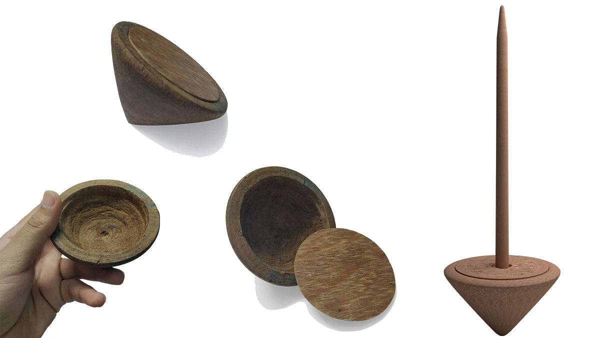
The GPS unit takes the form of a takli. Spinning it marks a grazing point — the same gesture, now also an act of documentation. Because the object is already familiar, it reads as a tool rather than as foreign equipment.
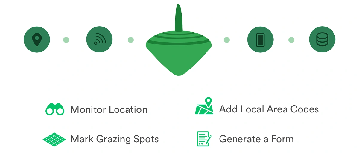
Each spin records latitude, longitude, altitude, speed and time. That data is relayed to a portal where a civil worker turns it into a filed claim.
Prototyping
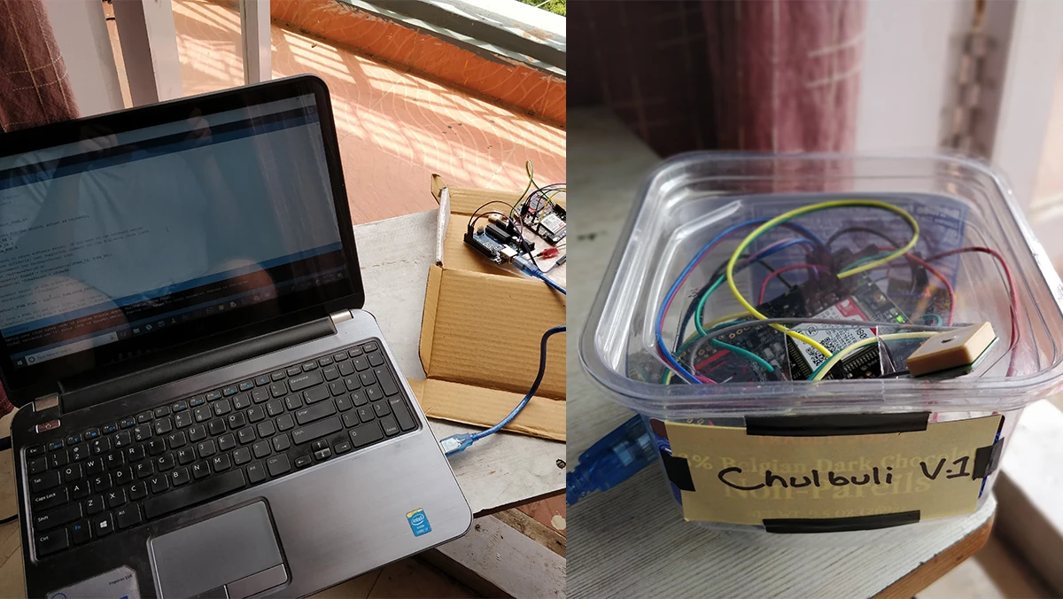
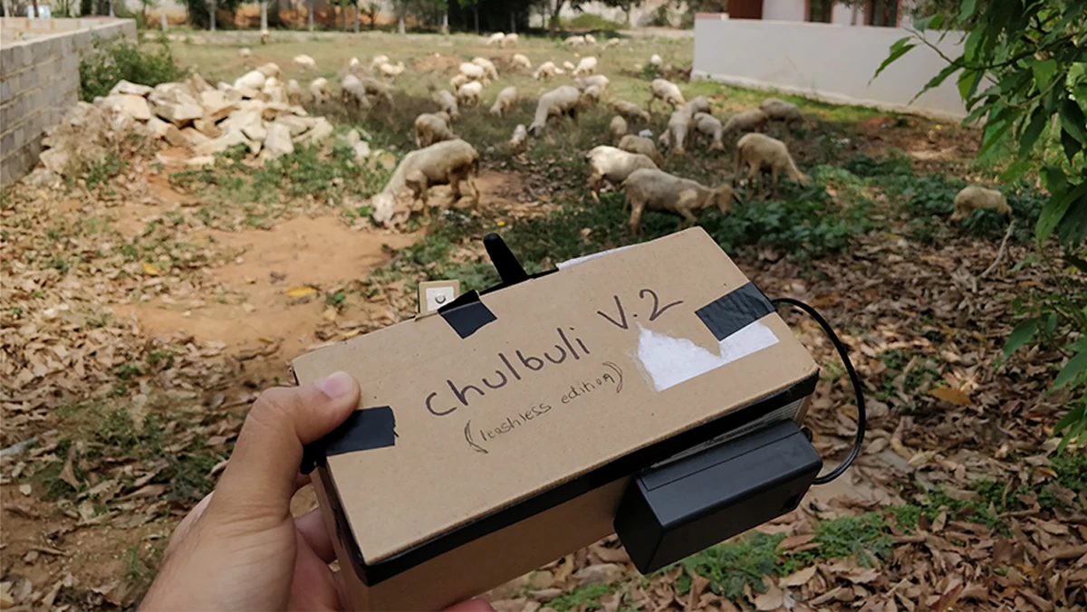
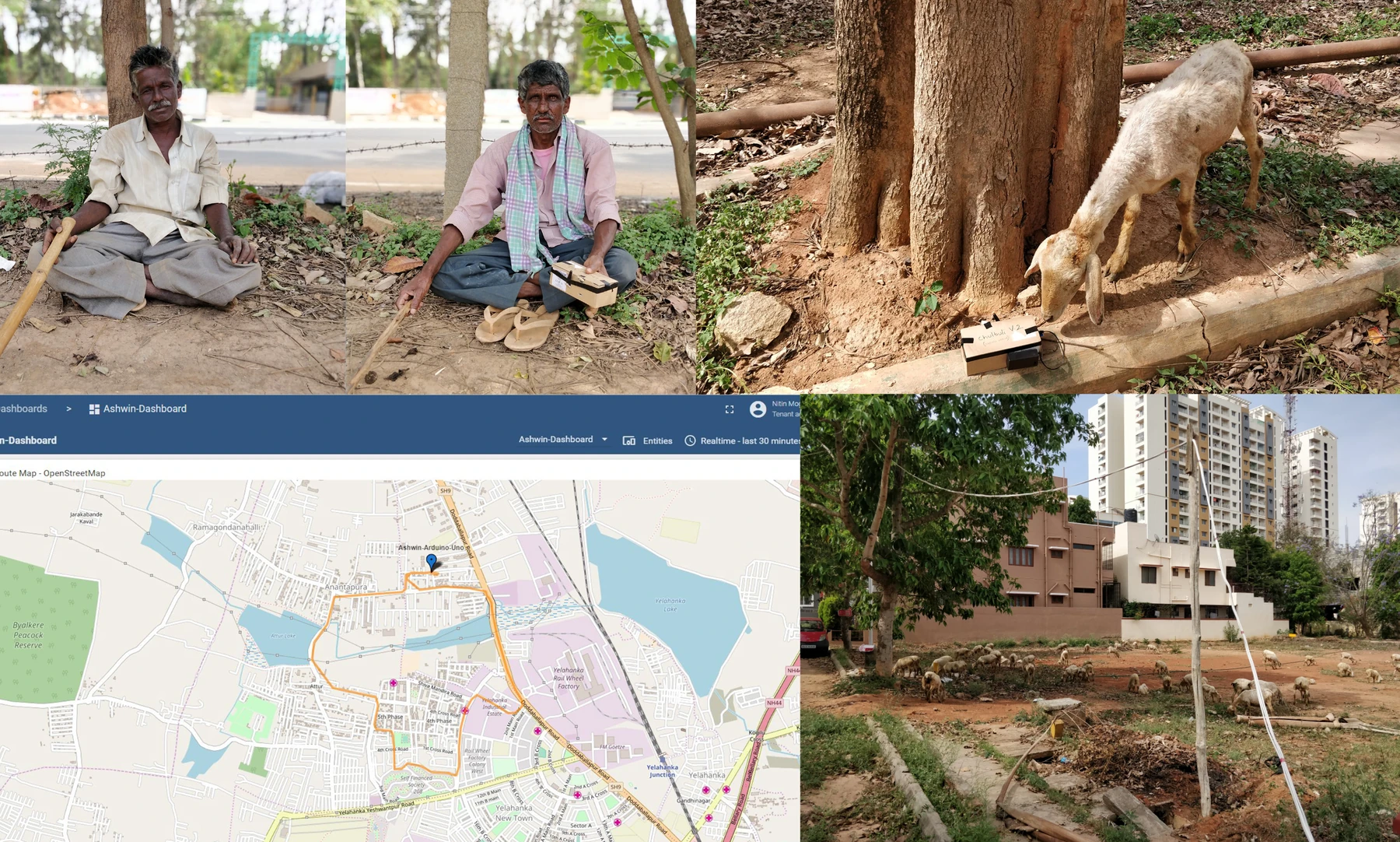
The first prototype — Chulbuli V1, built on an Arduino UNO and an Adafruit FONA 3G module — was rough enough to get in front of shepherds quickly and confirm the interaction held up in the field.
The system
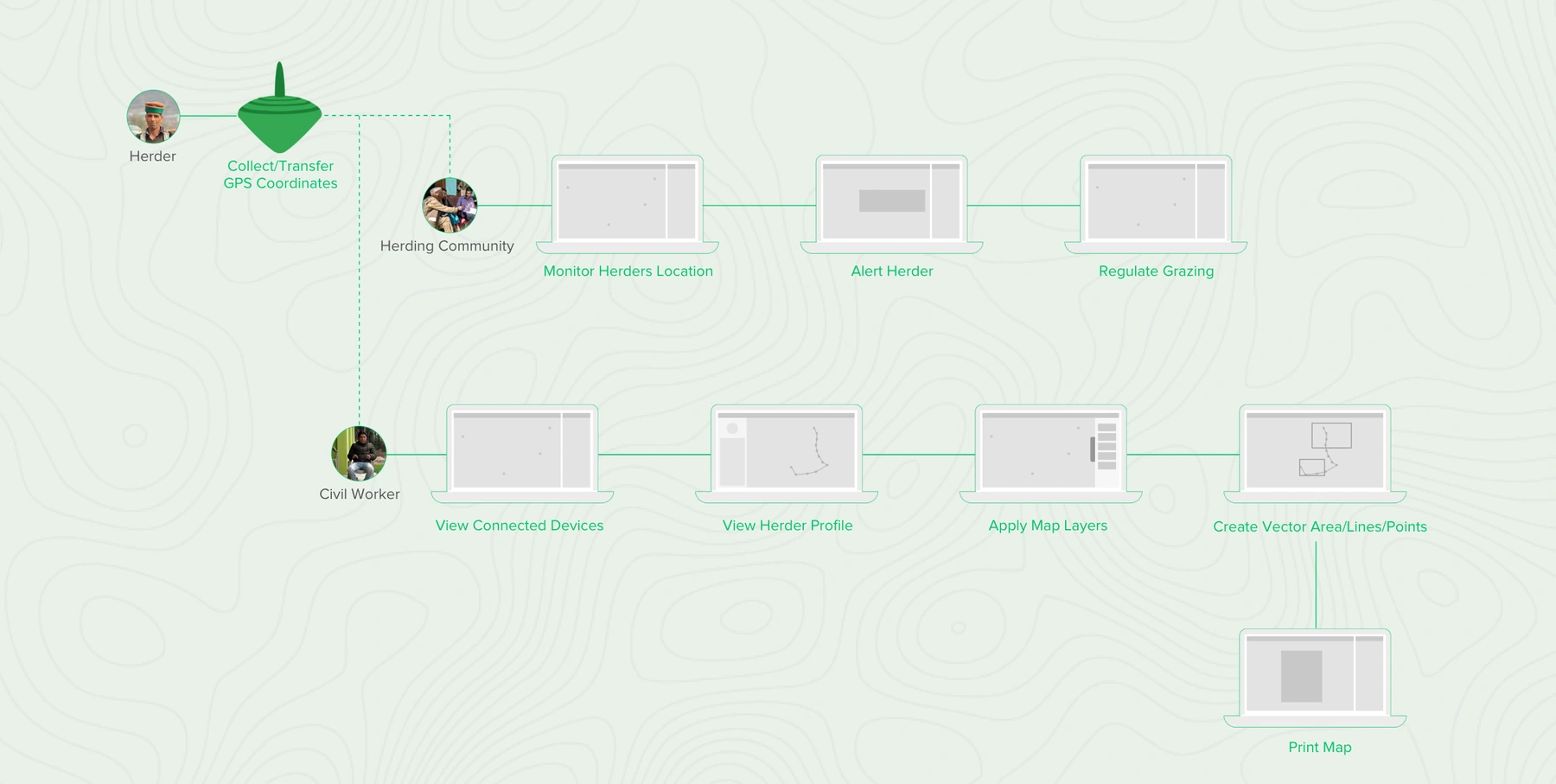
The data serves two audiences at once. The herding community uses it to coordinate support and regulate grazing; civil workers use the same records to prepare and file the Forest Rights Claim.
The dashboard
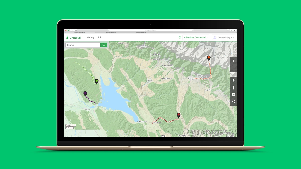
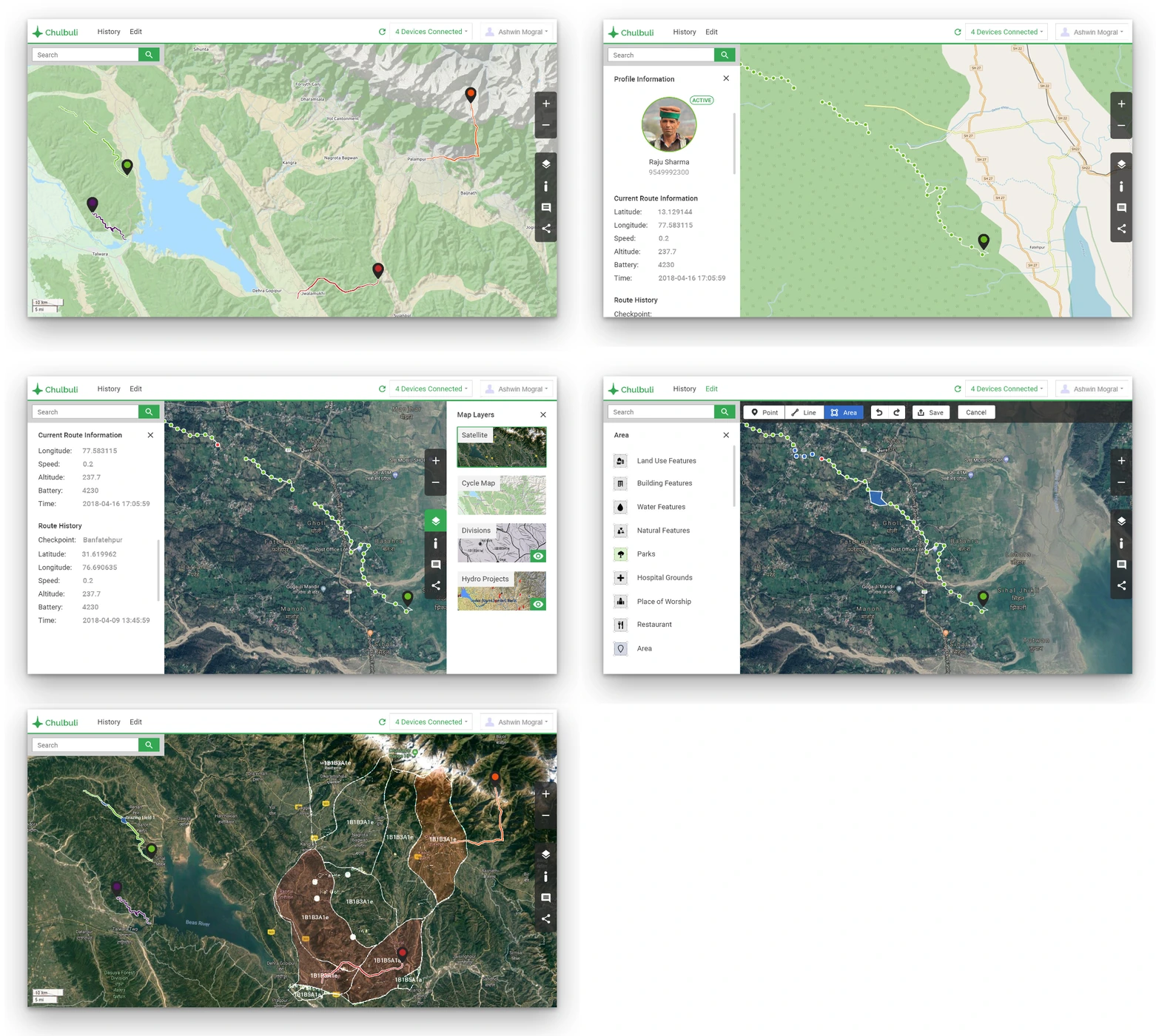
A desktop portal plots each herder’s location in real time using the OpenStreetMap API. With live routes visible, communities can plan future grazing strategically — and send help to someone who needs it.
Takeaways
Social sensitivity decided this project. Mobile apps and weekly training programmes had been tried before and failed — shepherds treated the technology as a foreign object and stopped using it. Borrowing a form they already trusted was what made the data collection stick.
- Adoption is a design problem, not a training problem — the form of the object decided whether it was used at all.
- The best data capture is a by-product of an existing routine, not an added task.
- Building rough hardware early put the interaction in shepherds’ hands while it was still cheap to change.